
Cusco Map: Locating Cusco in Peru and Finding Your Way Around the City
By the Goo Machu Picchu team · Checked against official sources (editorial policy) · Updated October 2026 · 4 min read
A Cusco map shows a city in the Andes of southern Peru, about 350 miles (570 km) southeast of Lima and about 50 miles southeast of Machu Picchu. The historic center is compact: most sights sit within a 15-minute walk of the Plaza de Armas, with the airport about 3 miles south.
- Region
- Cusco Region, southern Peru
- From Lima
- About 350 miles straight line, 80-minute flight
- To Machu Picchu
- About 50 miles northwest
- Airport
- About 3 miles south of the plaza
- Center
- Plaza de Armas
- Elevation
- About 11,150 ft (3,400 m)
Where Is Cusco on a Map of Peru?
Cusco sits in the southeastern Andes of Peru, in a high valley of the Huatanay River, about 350 miles southeast of Lima and roughly 13.5 degrees south of the equator. It is the capital of the Cusco Region and the gateway to the Sacred Valley and Machu Picchu to the northwest.
On a wider map, Lake Titicaca and Puno lie about 240 miles southeast, Arequipa about 200 miles southwest, and the Amazon lowlands begin to the north and east. Our Machu Picchu map guide shows how Cusco connects to the citadel.
| From Cusco to | Approx. distance | Usual transport |
|---|---|---|
| Lima | About 350 mi straight line | Flight, about 80 minutes |
| Pisac | About 21 mi | Road, about 1 hour |
| Ollantaytambo | About 45 mi | Road, about 1.5 to 2 hours |
| Aguas Calientes | About 50 mi | Train, about 3.5 hours total |
| Puno, Lake Titicaca | About 240 mi | Bus or train, 7 to 10 hours |
| Arequipa | About 200 mi | Flight or overnight bus |
Distances are approximate and road distances are longer than straight-line figures. Flight options are covered in our Lima to Cusco guide.
How Is Cusco's Historic Center Laid Out?
Cusco's historic center is laid out around the Plaza de Armas, with the Plaza Regocijo just west and Avenida El Sol running southeast toward Qorikancha. San Blas climbs the hill to the northeast, San Cristóbal and Sacsayhuamán rise to the north, and San Pedro Market lies to the southwest. Streets follow parts of the original Inca grid.
| Area | Direction from Plaza de Armas | Walk time |
|---|---|---|
| Plaza Regocijo | West | About 2 minutes |
| Twelve-Angled Stone | East | About 5 minutes |
| San Blas | Northeast, uphill | About 10 minutes |
| Qorikancha | Southeast on Avenida El Sol | About 7 minutes |
| San Pedro Market | Southwest | About 10 minutes |
| Sacsayhuamán | North, steep uphill | About 25 minutes |
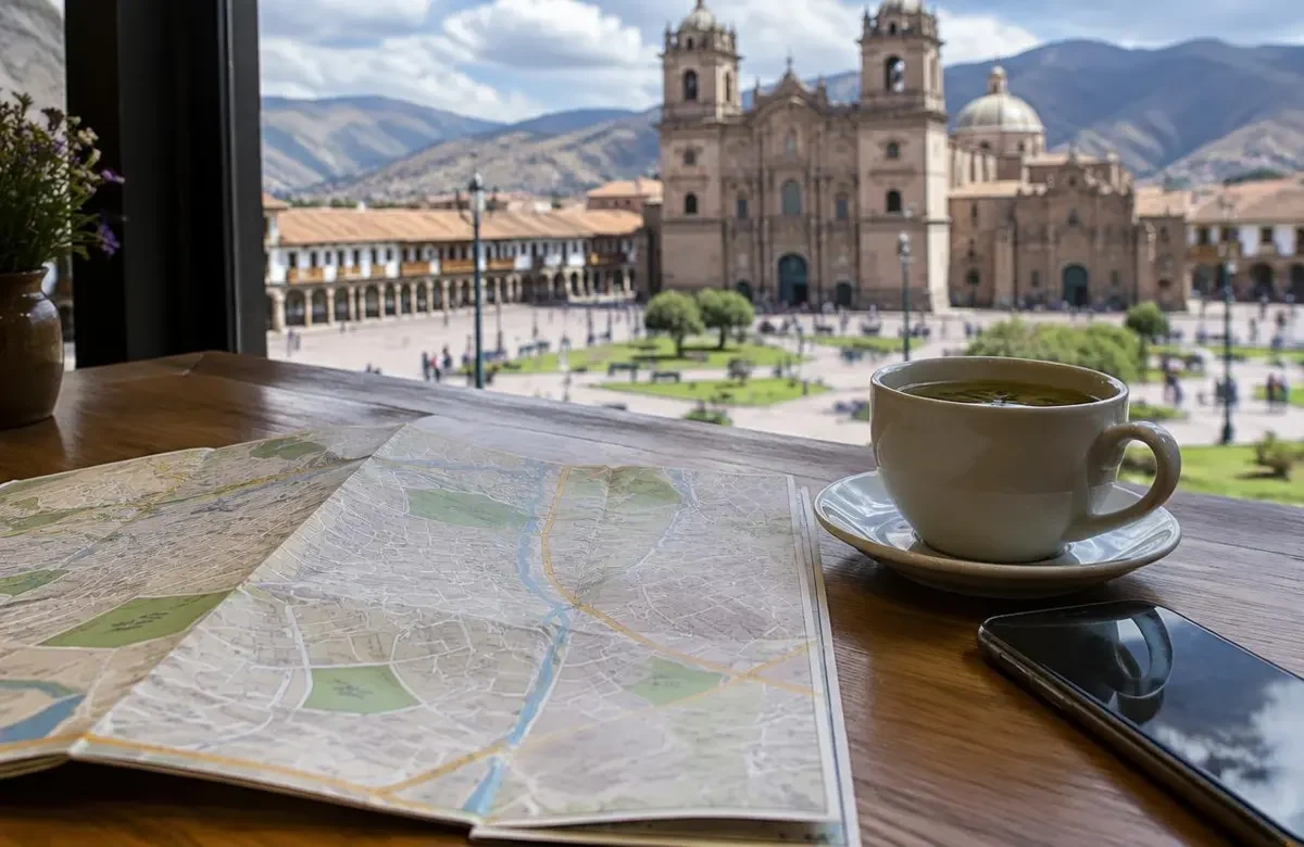
Where Are Cusco's Airport, Bus Terminal and Train Stations?
Cusco's Alejandro Velasco Astete airport is about 3 miles southeast of the Plaza de Armas, around 15 to 25 minutes by taxi. The main long-distance bus terminal is near the airport on the south side. Trains toward Machu Picchu leave from Poroy, about 20 minutes away, or from San Pedro station near the market in some seasons.
Wanchaq station, on Avenida El Sol near the center, serves trains to Puno. Many travelers skip Cusco's rail stations and board Machu Picchu trains at Ollantaytambo instead; compare options in our Machu Picchu train guide.
What Ruins and Viewpoints Appear on a Cusco Map Above the City?
Above the city, a Cusco map shows Sacsayhuamán directly north of the center, then Qenqo, Puka Pukara and Tambomachay strung along the road toward Pisac. Cristo Blanco, the white statue, stands near Sacsayhuamán and offers the classic viewpoint. The four ruins sit between about 12,100 and 12,800 feet.
- Walk or taxi north to Sacsayhuamán from the Plaza de Armas.
- Continue a short distance to Cristo Blanco for views.
- Take a taxi about 10 minutes to Qenqo.
- Continue to Puka Pukara and Tambomachay along the Pisac road.
- Return to the center by taxi or walk back downhill.
Read more in our Sacsayhuamán fortress guide and our guide to things to do in Cusco.
How Do You Find Your Way Around Cusco?
Find your way around Cusco by using the Plaza de Armas as your anchor, downloading an offline map before you arrive, and noting that streets often change name block by block. Many streets carry both a Spanish and a Quechua name. Taxis are cheap for longer distances, especially uphill and after dark.
The bigger context is explained in our Cusco, Peru guide.
Prefer to have it all arranged? Alongside this Cusco Map guide, our Machu Picchu vacation packages covers transport, tickets and a licensed guide.
Many travelers read our Cusco food guide next.
- Download offline maps, since signal can drop in narrow lanes.
- Use the cathedral and the plaza fountain as landmarks.
- Expect steep climbs to the north and northeast.
- Agree on taxi fares before getting in, or use an app.
- Ask your hotel for a free printed city map.
Walking uphill at this height is tiring; read our Cusco altitude guide before planning long walks.
Wear layers when walking the hills on this map, as Cusco's weather by month shows, and keep cash handy using our Peru currency tips.
Frequently asked questions
Is Cusco in the mountains?
Cusco is in the Andes mountains, in a valley at about 11,150 feet (3,400 m), surrounded by hills and higher peaks. Snowcapped Ausangate, over 20,000 feet, lies to the southeast and can be seen on clear days from some viewpoints.
How far is Cusco from Machu Picchu?
Cusco is about 50 miles southeast of Machu Picchu in a straight line. There is no road all the way, so travelers combine road or train to Aguas Calientes, then a bus up to the citadel. The full trip takes about 3.5 to 4 hours one way.
Is Cusco walkable?
Cusco's historic center is very walkable, with most sights within 15 minutes of the Plaza de Armas on stone streets. The catch is altitude and hills: neighborhoods like San Blas and the ruins above town are steep. Wear good shoes and walk slowly at first.
What country is Cusco in?
Cusco is in Peru, in South America. It was the capital of the Inca Empire and is now the capital of Peru's Cusco Region. The city's name is also spelled Cuzco or Qosqo, the Quechua form, which you may see on maps and signs.
Can you get a free Cusco map?
You can usually get a free Cusco map from your hotel, the official tourist information office, or the airport arrival hall. Free maps often show main sights and restaurants. For walking, an offline phone map is more reliable in the narrow lanes.
Want a route planned for you?
Tell us your dates and we will plan your Cusco days, transfers and Machu Picchu route. Prefer to read first? Get the free Machu Picchu trip guide.
Sources checked October 3, 2026
Recommended tours
Packages · 7 days
Machu Picchu Vacation Packages, 3, 5 and 7 Days
3, 5 or 7 days from Cusco with hotels, trains, Machu Picchu tickets and guides arranged. From $479.
from $1290
View tour →
Day Tours · 1 day
Sacred Valley Full Day Tour
Chinchero, Moray, Maras salt mines, Ollantaytambo and Pisac in one full day from Cusco, with buffet lunch.
from $49
View tour →Keep planning
- Aguas Calientes Hotels: Where to Stay in Machu Picchu Town and How to Choose
- Aguas Calientes Hot Springs: A Practical Guide to the Thermal Baths Below Machu Picchu
- Ollantaytambo: The Inca Fortress Town of the Sacred Valley Explained
- Sacsayhuamán: The Megalithic Inca Fortress Above Cusco Explained
- Qorikancha: The Golden Inca Temple of the Sun in Cusco
- Maras Salt Mines: How the Salineras de Maras Work and How to Visit
- Moray Ruins: The Inca Circular Terraces of the Sacred Valley Explained
- Pisac Ruins: The Inca Citadel and Market Town of the Sacred Valley